Home » News » 2025 » July
News Brief
July 30, 2025 |
By: Gavin McGough
Heat wave in Northwest Missouri is likely due to agriculture
© 2025 NEWSWEEK DIGITAL LLC
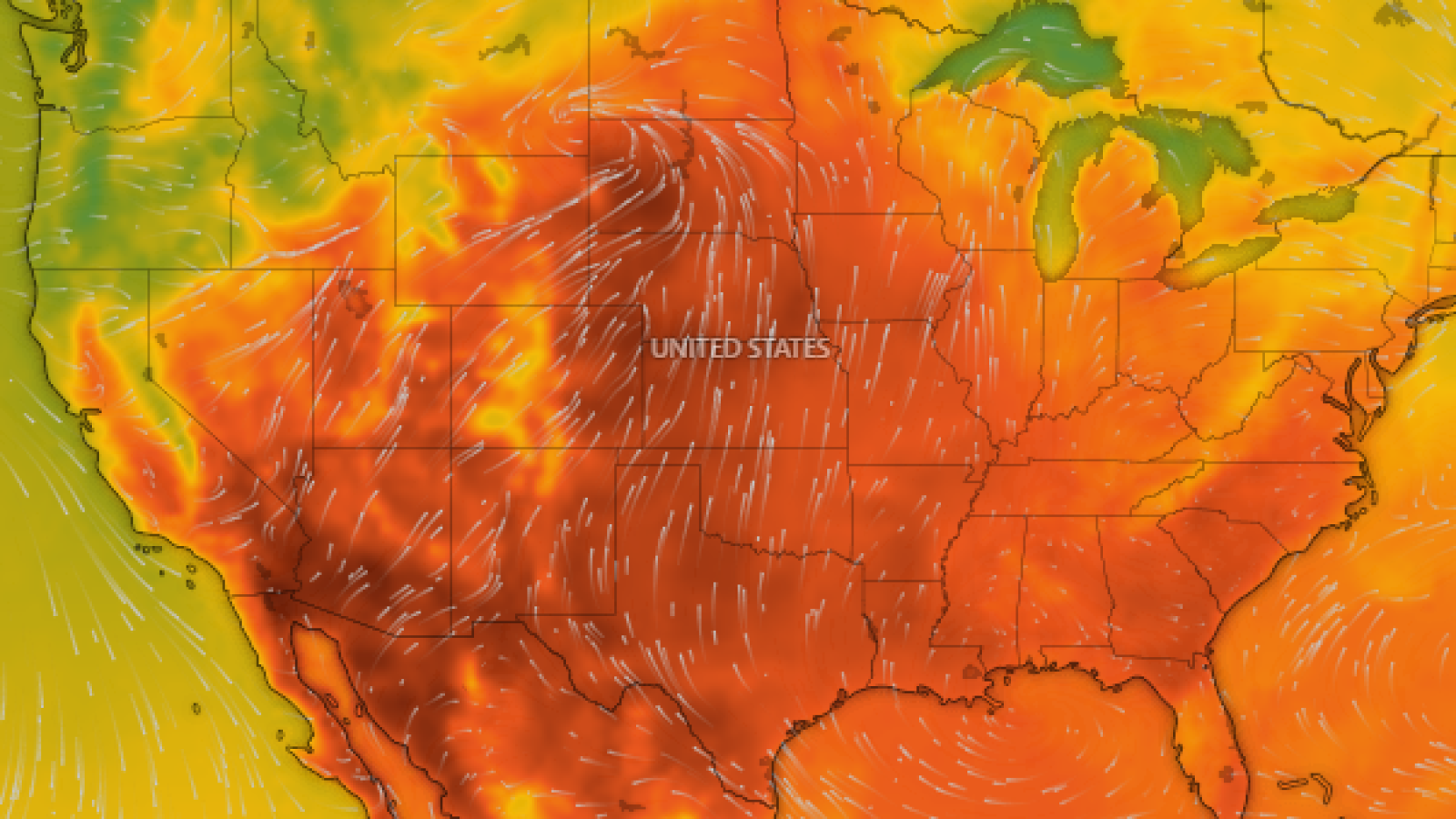
Heat indices in the region over the last few days reached the triple digits topping around 110 degrees. Many in the area felt it.
Meteorologists at KMBC, a television station in Kansas City reported that Maryville had the hottest feels like temperature in the world on Monday afternoon, a claim which recirculated on social media.
Speaking on Tuesday, a forecaster with the National Weather Service at Pleasant Hill, Alex Crawl could not verify that claim but he said it makes sense at this time of year. "Typically, during heat waves that we get in late July through August, rural areas do tend to have higher dew points."
A higher dew point indicates higher humidity, and higher humidity means a higher heat index compared to urban areas nearby.
Why are rural areas so humid? Yes, it's all the crops, Crawl says. "Yeah, when it comes to air temperature, urban areas do tend to heat up quicker because concrete and asphalt surfaces are warming up at a faster rate. In the rural areas, especially this time of year when the crops become mature, they release a lot more water vapor into the atmosphere and therefore result in higher dew points and therefore that can result in higher heat index values."
Storms, and cloud cover moving into the region today will last through the remainder of the week, bringing cooler conditions and relief. Crawl says residents should still keep an eye on the radar. "It is possible for a few storms to be stronger, too severe, so just make sure that you remain weather aware. The main hazard associated with storms will likely be damaging wind gusts between 60 and 70 miles per hour."
After a particularly wet summer, residents should also be ready for potential flooding if rain comes quickly.
A live temperature tracker map is available here and shows the weather in real time.