Home » News » 2025 » July
News Brief
July 18, 2025 |
By: Gavin McGough
Record rainfall in Kansas City Metro Area
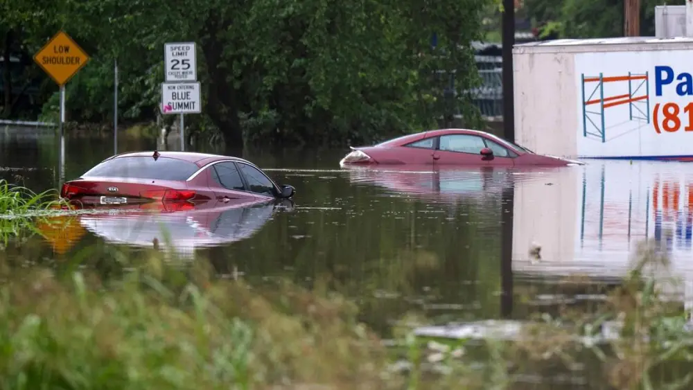
Emily Curiel/ecuriel@kcstar.com/TNS
A major thunderstorm this week brought almost five inches of rain to the Kansas City Metro Area setting two daily rainfall records in Kansas City.
The National Weather Service office in Pleasant Hill, Missouri recorded flooded roads and wind damage across the Kansas City Metro Area, where the majority of activity was concentrated.
Severe storms, however, were noted across our listening region.
Focus among metereologists is pivoting to what comes next: extreme temperatures.
Heat indices will climb well in the triple digits begining this weekend and continuing next week. The office will issue heat warnings as the event draws near, but it is already asking residents to be prepared.
It's not the first time July has brought extreme temperatures to Missouri. In the year 1936, today, July 18th, marked the 12th consecutive day of triple digit tempartures in Kansas City -- one of the longest stretches in Kansas City history.